 The increased need for people and goods' mobility has led to the complete saturation of almost all modes of transport, be it road, rail, waterways and airways. Further capacity increase is possible only by reducing the minimum safety distances between subsequent planes, vehicles and vessels. This is where we need computers, combined with reliable position determination and trajectory prediction.
This is the use of GPS and Galileo for so-called high integrity and high reliability applications. A pilot of an airplane does not need to know his position, including his height, very accurately. Centimetre accuracy is not needed. It is however important to know that the indicated position is 'integer', that it can be trusted: it should not differ from the real position by more than a predefined number of metres.
EGNOS is a first European satellite system that will be certified to support 'general aviation' and 'civil aviation'. The certification of EGNOS as a system is already behind us. The certification of the receivers in airplanes is also required. These types of GNSS receivers must meet very strict requirements on hardware and software reliability, and on EMC immunity and emissions. Hardware and software are continuously monitored with internal algorithms and all measurements that do not meet strict quality indicators are discarded.
Galileo will also support a so-called Safety-of-Life service, indicating not only position, but also position 'integrity' related parameters. The FP7 supported - GaLoRIO project prepares the use of Galileo for train position determination.
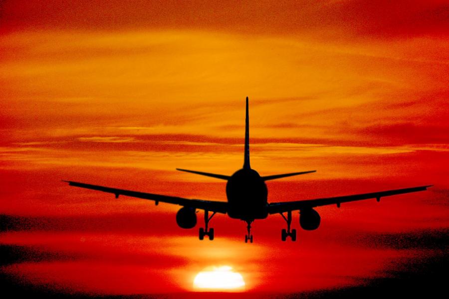
In this way satellite navigation contributes to reliable position determination of planes ,ships, trains and cars. This will allow transport capacity increase and/or extra safety where other position determination systems (radar, VOR, etc) may fail. Picture: Freefoto.com
No comments:
Post a Comment